-
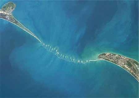
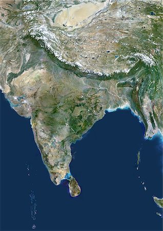
Satellite view of Adam's Bridge. This chain of limestone shoals connects Sri Lanka to India. This image was taken in 2014 by Landsat 8 satellite.
Rights-Managed
-
-

-

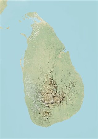
Sri Lanka, Asia, True Colour Satellite Image. Satellite view of Sri Lanka. This image was compiled from data acquired by LANDSAT 5 & 7 satellites.
Rights-Managed
-
-
-
-

-
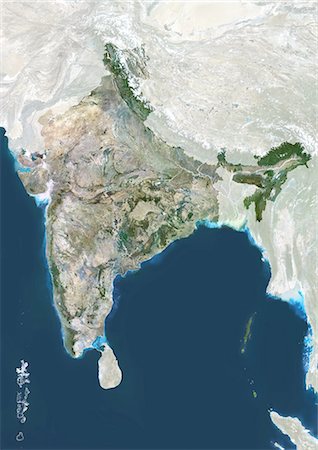
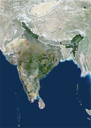
India, True Colour Satellite Image With Mask. India, true colour satellite image with mask This image was compiled from data acquired by LANDSAT 5 & 7 satellites.
Rights-Managed
-
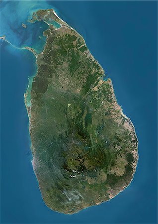
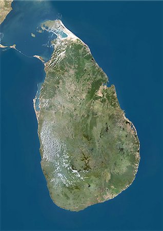
Satellite view of Sri Lanka. This image was compiled from data acquired by Landsat 8 satellite in 2014.
Rights-Managed


