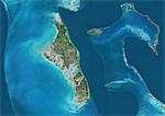
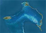
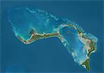
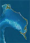
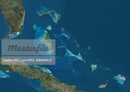
Satellite view of The Bahamas. It consists of more than 700 islands, cays and islets in the Atlantic Ocean, north of Cuba and southeast of the US state of Florida. The capital is Nassau on the island of New Providence. This image was compiled from data acquired by Landsat satellites.
Offre de lancement
Economisez 50% lorsque vous rejoignez notre bulletin
-
Résolution Web
550×388px
19.4×13.7cm 28ppcm
-
Basse Résolution
1007×712px
35.6×25.2cm 28ppcm
-
Résolution Moyenne
2230×1576px
18.9×13.3cm 118ppcm
-
Haute Résolution
4961×3507px
42.0×29.7cm 118ppcm
* Prix final selon l'usage, non pas la taille du fichier.
Mots clés apparentés
- 872-
- Abaco
- Amérique Centrale
- Amérique du Nord
- Antilles
- Bahamas
- banque Little Bahama
- Caraïbes
- carte (géographie)
- cartographie
- eau
- Eleuthera
- grève
- île
- Ile de la Nouvelle Providence
- image couleur
- littoral
- Long Island
- Nassau
- océan
- photographie (art)
- plan
- plein air
- sans personnages
- tourisme
- Universal Images Group
- vue par satellite
Images apparentées
- Satellite view of Andros, New Providence and Eleuthera Islands, Bahamas. New Providence is the most populous island in the Bahamas and it houses the capital city of Nassau. This image was compiled from data acquired by Landsat satellites.
- Satellite view of Andros Islands and New Providence, Bahamas. New Providence is the most populous island in the Bahamas and it houses the capital city of Nassau. This image was compiled from data acquired by Landsat satellites.
- Satellite view of New Providence and Eleuthera Island, Bahamas. New Providence is the most populous island in the Bahamas and it houses the capital city of Nassau. This image was compiled from data acquired by Landsat satellites.
- Satellite view of Grand Bahama and Abaco Islands, Bahamas. This image was compiled from data acquired by Landsat satellites.
- Satellite view of Eleuthera Island, Bahamas. This image was compiled from data acquired by Landsat satellites.
- Satellite view of the Abaco Islands that lie in the northern Bahamas. They comprise the main islands of Great Abaco and Little Abaco, along with smaller barrier cays. This image was compiled from data acquired by Landsat satellites.
- Satellite view of Bahamas Southern Islands comprising Acklins and Crooked Island, Inagua and Mayaguana. This image was compiled from data acquired by Landsat satellites.
- Satellite view of Cat Island, Great Exuma and Long Island, Bahamas. San Salvador Island and Rum Cay are also to be seen on the image. This image was compiled from data acquired by Landsat satellites.
Plus d’images apparentées
- Satellite view of The Greater Antilles and Bahamas. This image was compiled from data acquired by Landsat satellites.
- Satellite view of Jamaica. This image was compiled from data acquired by Landsat satellites.
- Satellite view of Haiti and The Dominican Republic. This image was compiled from data acquired by Landsat satellites.
- Satellite view of Cuba and Jamaica. This image was compiled from data acquired by Landsat satellites.
- Satellite view of Islands of the Lesser Antilles and Puerto Rico and Puerto Rico in the Caribbean. This image was compiled from data acquired by Landsat satellites.
- Satellite view of the Caribbean Sea. The entire area of the Caribbean Sea, including all islands of the West Indies is collectively known as the Caribbean. This image was compiled from data acquired by Landsat satellites.
- Bahamas, Image Satellite de la couleur vraie
- Bahamas, carte en Relief
