144 resultados para mapa en relieve
-
-
-
600-00160050
Metallic Globe and Branches
Sin royalties Premium
-
-
-
-
700-00012973
Relief Map North and South America
Con derechos protegidos
-
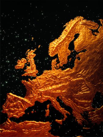
700-00049051
Radiating Relief Map of World
Con derechos protegidos
-
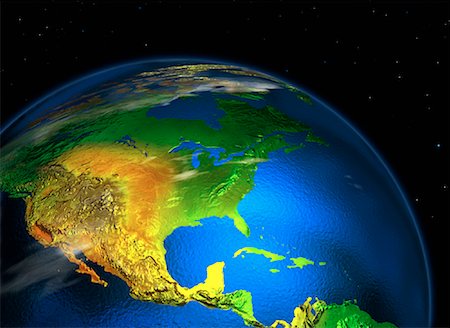
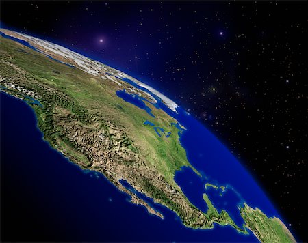
700-00061593
Close-Up of Globe in Space North America
Con derechos protegidos
-
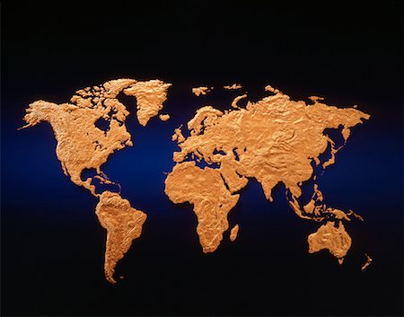
700-00012084
Relief Map of the World with Grid Copper and Blue
Con derechos protegidos
-
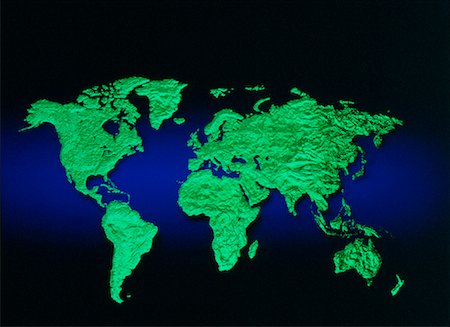
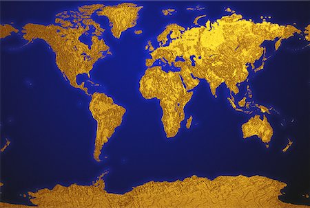
700-00011156
Relief Map of the World
Con derechos protegidos
-
-
-
-
-
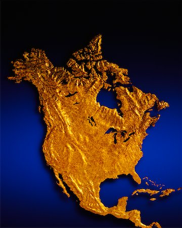
700-00009110
Relief Map of North America
Con derechos protegidos
-
-
700-00028962
Close-Up of Wire Globe Europe
Con derechos protegidos
-
-
700-00029509
Wire Globe and Rings Pacific Rim
Con derechos protegidos
-
-
700-00013044
Globe and Horizon with Starry Sky Starry Sky Pacific Rim
Con derechos protegidos
-
-
700-00036263
World Map on Globe in Space
Con derechos protegidos
-
700-00018550
Globe Carved in Stone North and South America
Con derechos protegidos
-
-
-
700-00159184
Relief Map and Telephone Keypad
Con derechos protegidos
-
700-00017897
Close-Up of Globe North America
Con derechos protegidos
-
700-00029512
Wire Globe with Rings Pacific Rim
Con derechos protegidos
-
-
700-00028956
Close-Up of Wire Globe Europe
Con derechos protegidos
-
-
-
700-00061594
Close-Up of Globe in Space North America
Con derechos protegidos
-
700-00028196
Globe Europe and Africa
Con derechos protegidos
-
700-00023830
Relief Globe Europe and Africa
Con derechos protegidos
-
700-00028961
Close-Up of Wire Globe North America
Con derechos protegidos
-
-
700-00036266
Globe North and South America
Con derechos protegidos
-
-
-
700-00017172
Three Globes Displaying Continents of the World
Con derechos protegidos
-
-
700-00018022
Globe and Starburst North America
Con derechos protegidos
-
700-00029505
Wire Globe and Rings Europe and Africa
Con derechos protegidos
-
-
700-00020474
Globe and Starry Sky North and South America
Con derechos protegidos
-
700-00048507
World Map on Grid with Horizon
Con derechos protegidos
-
700-00048505
World Map on Grid with Horizon
Con derechos protegidos
-
-
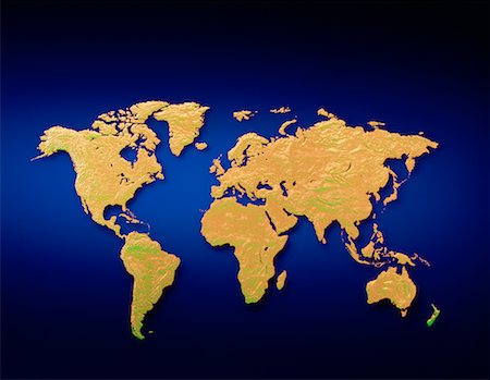
700-00017168
Relief Map of World with Grid
Con derechos protegidos
-
-
700-00055062
World Map with Networking Lines
Con derechos protegidos
-
700-00031053
Three Globes on Water Displaying Continents of the World
Con derechos protegidos
-
-
700-00021439
Two Globes Europe and North America
Con derechos protegidos
-
-
700-00018152
Green Relief Map - World
Con derechos protegidos
-
-
700-00029507
Wire Globe and Rings Pacific Rim
Con derechos protegidos
-
-
700-00017886
Globe Europe and Africa
Con derechos protegidos
-
-
700-00018275
Globe on Stand Pacific Rim
Con derechos protegidos
-
700-00021431
Globe and Grid in Starry Sky
Con derechos protegidos
-
-
700-00015456
Globe Europe and North Africa
Con derechos protegidos
-
700-00045152
Oval World Map in Bubble
Con derechos protegidos
-
700-00030940
Three Globes Displaying Continents of the World
Con derechos protegidos
-
-
-
-
-
-
700-00031400
Three Globes Displaying Continents of the World
Con derechos protegidos
-
700-00031292
Three Globes Displaying Continents of the World
Con derechos protegidos
-
700-00015053
Heart Shaped Earth from Space
Con derechos protegidos
-
700-00035686
Three Globes Displaying Continents of the World
Con derechos protegidos
-
700-00017173
Three Globes Displaying Continents of the World
Con derechos protegidos
-
700-00029511
Three Globes with Rings Displaying Continents of the World in Sky
Con derechos protegidos
-
700-00017616
Globe and Grid in Space Pacific Rim
Con derechos protegidos
-
-
-
700-00028988
Close-Up of Wire Globe North America
Con derechos protegidos
-
700-00013755
Globe and Starbursts Northern Hemisphere
Con derechos protegidos
-
700-00029510
Wire Globe and Rings in Sky Pacific Rim
Con derechos protegidos
-
700-00023827
Three Relief Globes Displaying Continents of the World with Rings
Con derechos protegidos
-
-