-
-
-
-
-
-
-
-
-

-
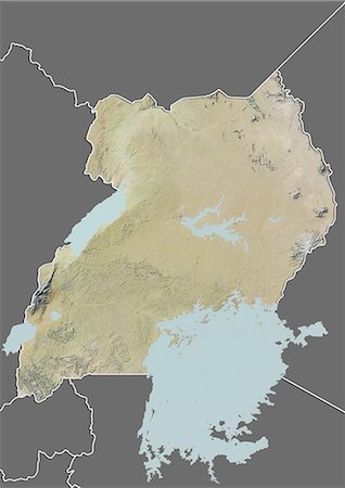
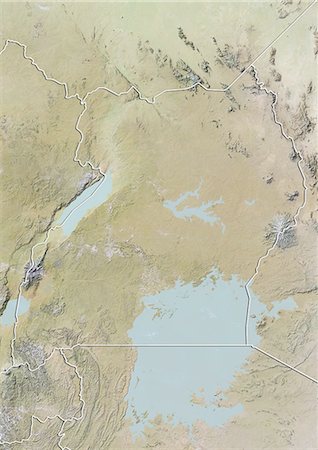
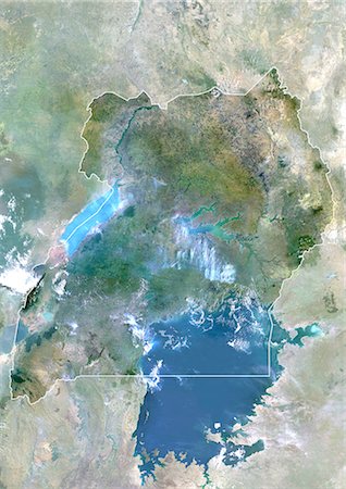
Relief map of Uganda (with border and mask). This image was compiled from data acquired by landsat 5 & 7 satellites combined with elevation data.
Rights-Managed
-
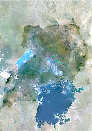
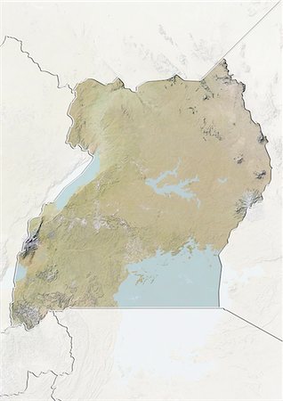
Uganda, Africa, True Colour Satellite Image With Mask. Satellite view of Uganda (with mask). This image was compiled from data acquired by LANDSAT 5 & 7 satellites.
Rights-Managed
-
-
-
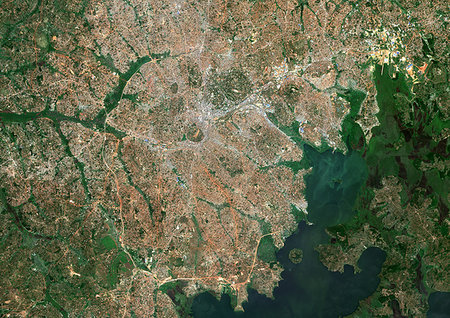
Color satellite image of Kampala, capital city of Uganda. It lies on the northern shore of Lake Victoria. Image collected on January 25, 2017 by Sentinel-2 satellites.
Rights-Managed
-
-
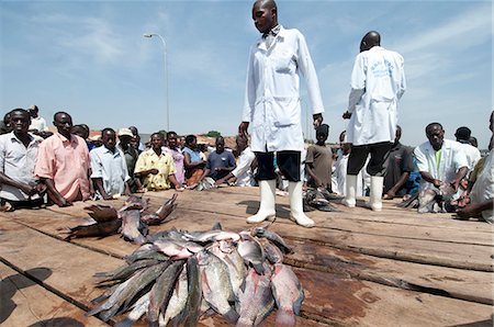
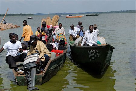
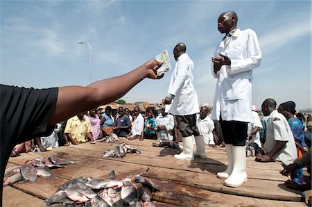
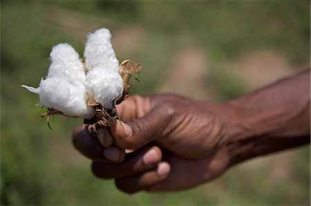
Gabba fisherfolk and customers buying freshly caught fish on the jetty, Uganda, Africa
Rights-Managed
-
-
-
-
-
-
-
-
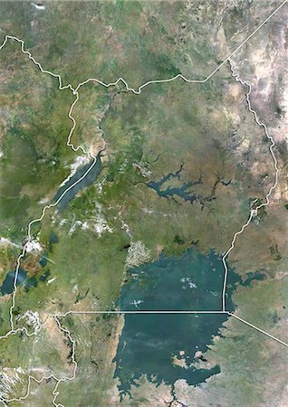
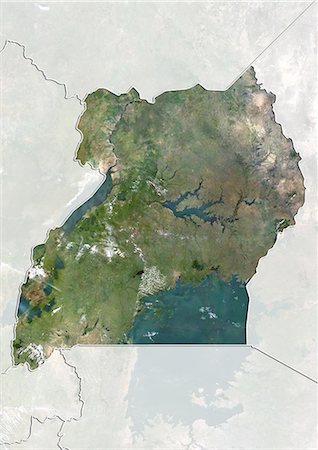
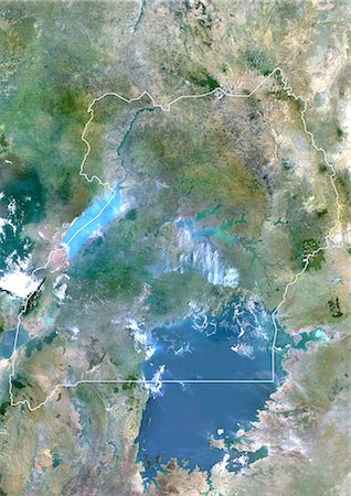
Uganda, Africa, True Colour Satellite Image With Border And Mask. Satellite view of Uganda (with border and mask). This image was compiled from data acquired by LANDSAT 5 & 7 satellites.
Rights-Managed
-
Uganda, Africa, True Colour Satellite Image With Border. Satellite view of Uganda (with border). This image was compiled from data acquired by LANDSAT 5 & 7 satellites.
Rights-Managed


