-

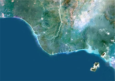
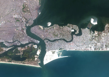
Colour satellite image of Lagos, Nigeria. Image taken on January 19, 2014 with Landsat 8 data.
Rights-Managed
-
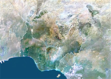
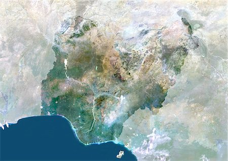
Niger River Delta, Nigeria, True Colour Satellite Image. True colour satellite image of the Niger River Delta in Nigeria, Africa. The city of Lagos, the second most populous city in Africa, is to be seen west of the Niger River Delta on the Atlantic coast in the Gulf of Guinea.Composite image using LANDSAT 5 data.
Rights-Managed
-

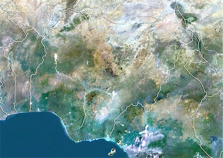
Nigeria, Africa, True Colour Satellite Image With Border. Satellite view of Nigeria (with border). This image was compiled from data acquired by LANDSAT 5 & 7 satellites.
Rights-Managed
-

-
Nigeria, Africa, True Colour Satellite Image With Border And Mask. Satellite view of Nigeria (with border and mask). This image was compiled from data acquired by LANDSAT 5 & 7 satellites.
Rights-Managed
-
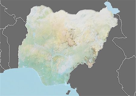
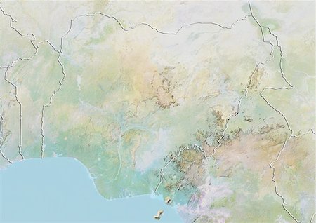
Relief map of Nigeria (with border and mask). This image was compiled from data acquired by landsat 5 & 7 satellites combined with elevation data.
Rights-Managed
-
-
Nigeria, Africa, True Colour Satellite Image With Mask. Satellite view of Nigeria (with mask). This image was compiled from data acquired by LANDSAT 5 & 7 satellites.
Rights-Managed
-
Color satellite image of Lagos island, the principal and central local government area in Lagos, Nigeria. Image collected on January 01, 2017 by Sentinel-2 satellites.
Rights-Managed
-
-


