15 images for physical geography of china yellow river

  • 872-06055181

    China, Relief Map With Boundaries of Provinces

    Rights-Managed

  • 872-06160268

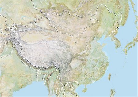
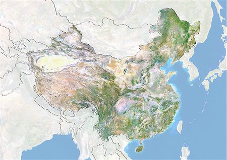
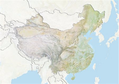
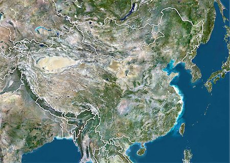
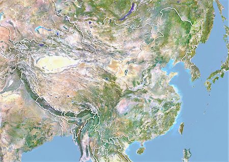
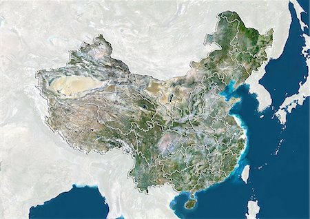
    Relief map of China (with border and mask). This image was compiled from data acquired by landsat 5 & 7 satellites combined with elevation data.

    Rights-Managed

  • 872-06054221

    China, Relief Map With Border

    Rights-Managed

  • 872-06055182

    China, Satellite Image With Bump Effect, With Boundaries of Provinces

    Rights-Managed

  • 872-06054222

    China, Satellite Image With Bump Effect, With Border and Mask

    Rights-Managed

  • 872-06054220

    China, Relief Map With Border and Mask

    Rights-Managed

  • 841-02704721

    Landscape of the Yellow River, farm land and hills in Qinghai, China, Asia

    Rights-Managed

  • 872-06054225

    China, True Colour Satellite Image With Border

    Rights-Managed

  • 872-06054223

    China, Satellite Image With Bump Effect, With Border

    Rights-Managed

  • 872-06054224

    China, True Colour Satellite Image With Border and Mask

    Rights-Managed

  • 841-02704764

    Yellow River, Lajia, Qinghai Province, China, Asia

    Rights-Managed

  • 841-02704754

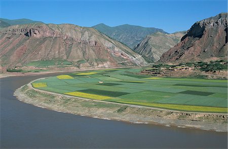
    Rape and barley fields by the Yellow River at Lajia, Qinghai Province, China, Asia

    Rights-Managed

  • 872-06055183

    China, True Colour Satellite Image With Boundaries of Provinces

    Rights-Managed

  • 6119-08703723

    Distant yaks graze on the banks of the Yellow River in Sichuan Province, China, Asia

    Premium Royalty-Free

  • 6119-08703722

    The Yellow River in Sichuan Province, the second longest river in China after the Yangtze, Sichuan, China, Asia

    Premium Royalty-Free