-
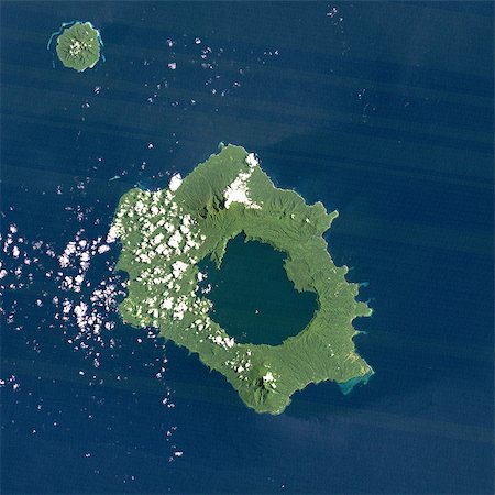
Long Island Volcano, Papua New Guinea, True Colour Satellite Image. Long Island volcano, Papua New Guinea, true colour satellite image. Long Island volcano is in the Bismark Sea, in Papua New Guinea. This volcano contains a large caldera filled by Lake Wisdom. Image taken on 31 March 1991 using LANDSAT data. Print size 30 x 30 cm.
Rights-Managed
-
-

-

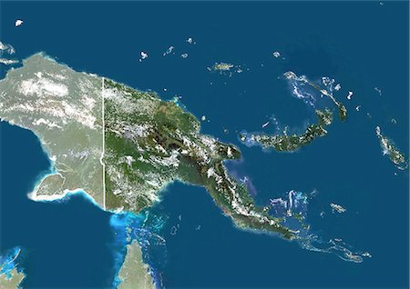
Papua New Guinea, Asia, True Colour Satellite Image With Mask. Satellite view of Papua New Guinea (with mask). This image was compiled from data acquired by LANDSAT 5 & 7 satellites.
Rights-Managed
-

-
Papua New Guinea, Satellite Image With Bump Effect, With Border and Mask
Rights-Managed
-

Long Island Volcano In 3D, Papua New Guinea, True Colour Satellite Image. Long Island, Papua New Guinea, true colour satellite image. 3D satellite view of Long Island volcano in the Bismark Sea, Papua New Guinea. This volcano contains a large caldera filled by Lake Wisdom. Image using LANDSAT data.
Rights-Managed
-
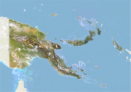
Papua New Guinea, Asia, True Colour Satellite Image With Border And Mask. Satellite view of Papua New Guinea (with border and mask). This image was compiled from data acquired by LANDSAT 5 & 7 satellites.
Rights-Managed
-
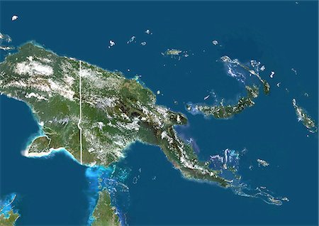
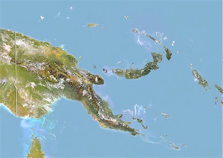
Papua New Guinea, Asia, True Colour Satellite Image With Border. Satellite view of Papua New Guinea (with border). This image was compiled from data acquired by LANDSAT 5 & 7 satellites.
Rights-Managed
-

Karkar Volcano, Papua New Guinea, True Colour Satellite Image. Karkar volcano, Papua New Guinea, true colour satellite image. Karkar is a volcanic island of Papua New Guinea, North West of Long Island. Image taken on 14 August 2000 using LANDSAT data. Image taken on 20 February 2000 using LANDSAT data. Print size 30 x 30 cm.
Rights-Managed
-
-
-

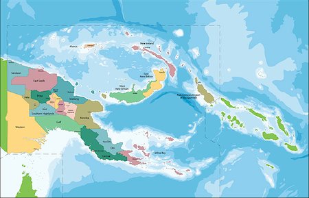
Vector of Papua New Guinea set with detailed country shape with region borders, flags and icons
Budget Royalty-Free & Subscription
-
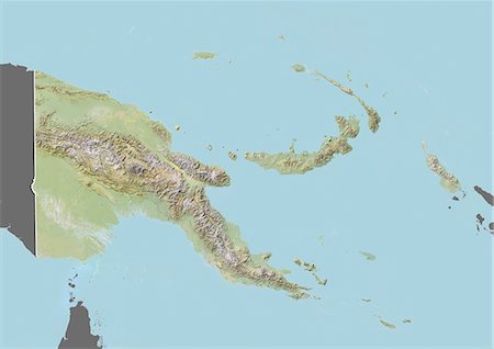
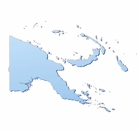
Relief map of Papua New Guinea (with border and mask). This image was compiled from data acquired by landsat 5 & 7 satellites combined with elevation data.
Rights-Managed
-
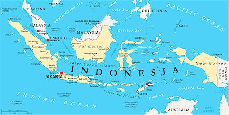
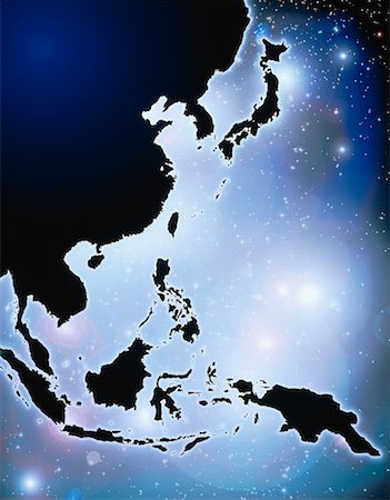
Indonesia political map with capital Jakarta, national borders and important cities. English labeling and scaling. Illustration.
Budget Royalty-Free & Subscription
-

fully editable vector flag of papua new guinea in map and web buttons shapes
Budget Royalty-Free & Subscription
-
-
-
-
Nicaragua-Saint Vincent and The Grenadines 3D White Maps isolated in white
Budget Royalty-Free & Subscription
-
Papua New Guinea map filled with light blue gradient. High resolution. Mercator projection.
Budget Royalty-Free & Subscription
-
-

-
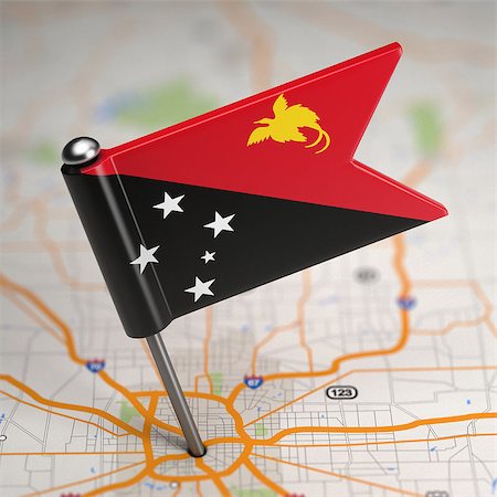
Small Flag of Papua New Guinea on a Map Background with Selective Focus.
Budget Royalty-Free & Subscription
-
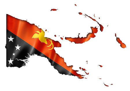
Papua New Guinea flag map, three dimensional render, isolated on white
Budget Royalty-Free & Subscription
-
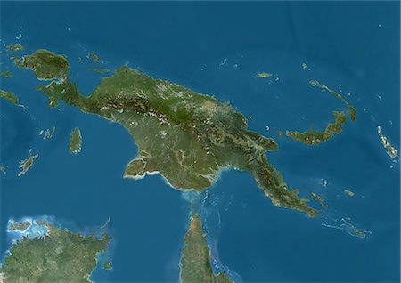
Satellite view of New Guinea. This image was compiled from data acquired by Landsat satellites.
Rights-Managed
-
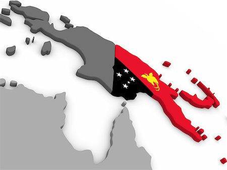
Map of Papua New Guinea with embedded national flag. 3D illustration
Budget Royalty-Free & Subscription
-

Papua New Guinea with surrounding region as seen from Earth's orbit in space. 3D illustration with detailed planet surface and clouds in the atmosphere. Elements of this image furnished by NASA.
Budget Royalty-Free & Subscription
-
The Independent State of Papua New Guinea is an Oceanian country that occupies the eastern half of the island of New Guinea and its offshore islands in Melanesia.
Budget Royalty-Free & Subscription
-
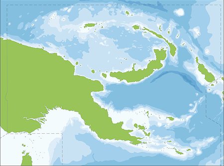
The Independent State of Papua New Guinea is an Oceanian country that occupies the eastern half of the island of New Guinea and its offshore islands in Melanesia.
Budget Royalty-Free & Subscription
-

sign as a white silhouette map of Papua New Guinea with an inscription on a blue background
Budget Royalty-Free & Subscription
-

-

-

-

fully editable papua new guinea vector flag in medal shapes
Budget Royalty-Free & Subscription
-
-

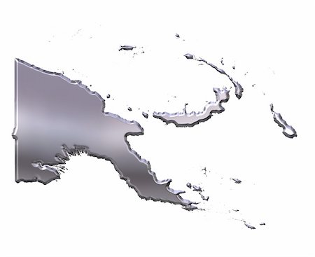
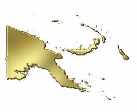
Papua New Guinea 3d map with national color isolated in white
Budget Royalty-Free & Subscription
-


