-
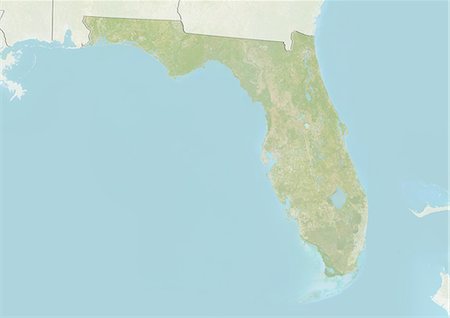
Relief map of the State of Florida, United States. This image was compiled from data acquired by LANDSAT 5 & 7 satellites combined with elevation data.
Rights-Managed
-

Satellite view of the State of Florida, United States. This image was compiled from data acquired by LANDSAT 5 & 7 satellites.
Rights-Managed
-

Relief map of the State of Florida, United States. This image was compiled from data acquired by LANDSAT 5 & 7 satellites combined with elevation data.
Rights-Managed
-

-
-

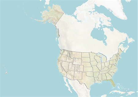
United States and the State of Florida, Satellite Image With Bump Effect
Rights-Managed
-

Bright and beautiful Sarasota, Florida and a quiet bay at sunset.
Budget Royalty-Free & Subscription
-

-
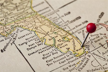
Florida vintage 1920s map (printed in 1926 - copyrights expired) with a red pushpin on Miami, selective focus
Budget Royalty-Free & Subscription
-

-
-
-
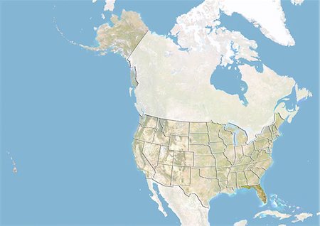
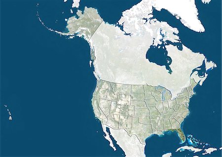
United States and the State of Florida, Satellite Image With Bump Effect
Rights-Managed


