8 images for beirut shoreline

  • 872-06054502

    Lebanon, Relief Map With Border

    Rights-Managed

  • 872-06160319

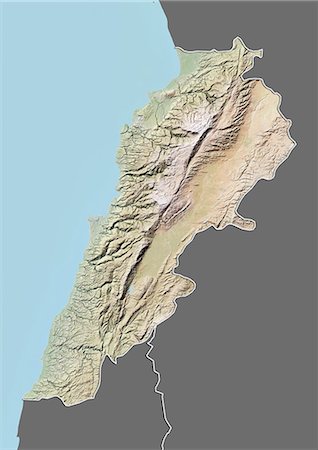
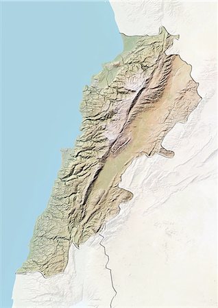
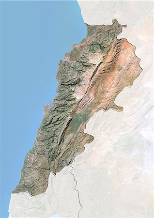
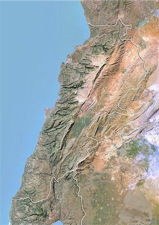
    Relief map of Lebanon (with border and mask). This image was compiled from data acquired by landsat 5 & 7 satellites combined with elevation data.

    Rights-Managed

  • 872-06054501

    Lebanon, Relief Map With Border and Mask

    Rights-Managed

  • 872-06054505

    Lebanon, True Colour Satellite Image With Border and Mask

    Rights-Managed

  • 872-06054506

    Lebanon, True Colour Satellite Image With Border

    Rights-Managed

  • 872-06054503

    Lebanon, Satellite Image With Bump Effect, With Border and Mask

    Rights-Managed

  • 872-06054504

    Lebanon, Satellite Image With Bump Effect, With Border

    Rights-Managed

  • 400-08295940

    Lebanon political map with capital Beirut, national borders, important cities, rivers and lakes. English labeling and scaling. Illustration.

    Budget Royalty-Free & Subscription