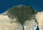
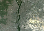
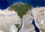
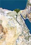
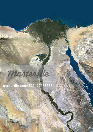
Color satellite image of the Nile River, Egypt. The Nile Delta is formed in Northern Egypt where the Nile River spreads out and drains into the Mediterranean Sea. Images collected on October 1, 2017 by Landsat 8 satellite.
Introductory Offer
Save 50% when you join our email list
-
Web Resolution
389×550px
5.4×7.6in 72ppi
-
Low Resolution
712×1007px
9.9×14.0in 72ppi
-
Medium Resolution
1576×2229px
5.3×7.4in 300ppi
-
High Resolution
3508×4961px
11.7×16.5in 300ppi
* Final price based on usage, not file size.
Related Keywords
- 872-
- aerial view
- Africa
- African
- African (places and things)
- agriculture (all crops including orchards and vineyards)
- Cairo
- cartographic
- color image
- color photography
- color picture
- delta
- delta (alluvial deposit)
- desert
- Egypt
- farm
- farming
- farming (all crops including orchards and vineyards)
- image
- irrigation
- Middle East
- Middle Eastern
- Middle Eastern (places and things)
- Nile River
- no people
- outdoors
- photograph
- photographic (pertaining to the discipline of photography)
- photography
- picture
- river
- satellite view
- stock photograph
- stock picture
- Universal Images Group
- water
Related Images
- Color satellite image of the Nile Delta. It is formed in Northern Egypt where the Nile River spreads out and drains into the Mediterranean Sea. Image collected on October 1, 2017 by Sentinel-2 satellites.
- Color satellite image of Cairo, capital city of Egypt. Image collected on October 01, 2017 by Sentinel-2 satellites.
- Nile Delta, Egypt, True Colour Satellite Image. True colour satellite image of the Nile Delta. It is formed in Northern Egypt where the Nile River spreads out and drains into the Mediterranean Sea. This swamp region has always been rich in fauna and flora, contrasting with the surrounding desert. Image taken on 23 August 2000 using LANDSAT data.
- Colour satellite image of Cairo, Egypt. Image taken on December 16, 2013 with Landsat 8 data.
- Satellite View of Egypt
- Egypt, True Colour Satellite Image With Border. Egypt, true colour satellite image with border. North is at top. In the center of the image is the Nile Delta, its lush vegetation following the path of the river. To the east of the Nile is the Gulf of Suez, which runs down the western side of the Sinai Peninsula. This image was compiled from data acquired by LANDSAT 5 & 7 satellites.
- Satellite View of Red Sea, Middle East
- Color satellite image of Alexandria, Egypt. Image collected on July 26, 2017 by Sentinel-2 satellites.
More Related Images
- Egypt, True Colour Satellite Image With Mask. Egypt, true colour satellite image with mask. North is at top. In the center of the image is the Nile Delta, its lush vegetation following the path of the river. To the east of the Nile is the Gulf of Suez, which runs down the western side of the Sinai Peninsula. This image was compiled from data acquired by LANDSAT 5 & 7 satellites.
- Colour satellite image of Alexandria, Egypt. Image taken on December 23, 2013 with Landsat 8 data.
- Satellite view of North Africa. This image was compiled from data acquired by Landsat 7 & 8 satellites.
- Color satellite image of Omdurman, Sudan. The city lies on the western banks of the River Nile, opposite the capital Khartoum. Image collected on October 25, 2017 by Sentinel-2 satellites.
- Satellite view of Africa. This image was compiled from data acquired by Landsat 7 & 8 satellites.
- Relief map of Egypt (with border and mask). This image was compiled from data acquired by landsat 5 & 7 satellites combined with elevation data.
- Egypt, True Colour Satellite Image With Border
- Egypt, True Colour Satellite Image With Border and Mask
